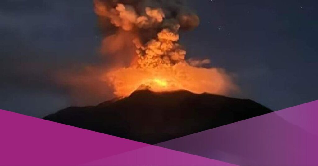
Mount Ruang in North Sulawesi erupted on Wednesday, April 17, 2024. The eruption caused the mountain to emit volcanic ash as high as 3,000 meters.
“The ash was observed to be gray and black in color with thick intensity towards the south. At the time of this report, the eruption is still ongoing,” wrote an official statement from the Ministry of Energy and Mineral Resources (ESDM) on Wednesday evening through its official website magma.esdm.go.id.
The impact of the eruption of Mount Ruang prompted the government to evacuate the surrounding residents.
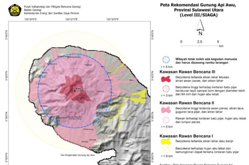
Residents who live within a 6 km radius of Mount Ruang in North Sulawesi will be evacuated immediately.
Currently, residents are evacuating to hilly areas on foot and using four-wheelers and two-wheelers to the east, northeast, and north to avoid the ongoing eruption area.
“There are a total of 11,615 residents, whom we must evacuate because this is the impact area of the eruption,” said Head of the Center for Disaster Data, Information, and Communication (Kapusdatinkom) of the National Disaster Management Agency (BNPB), Abdul Muhari, on Thursday, April 18, 2024.

Evacuation is essential, considering the mountain’s status has reached level IV or alert, and there is potential for a tsunami.
Residents affected by the eruption of Mount Ruang will likely be evacuated to surrounding islands, including Manado.
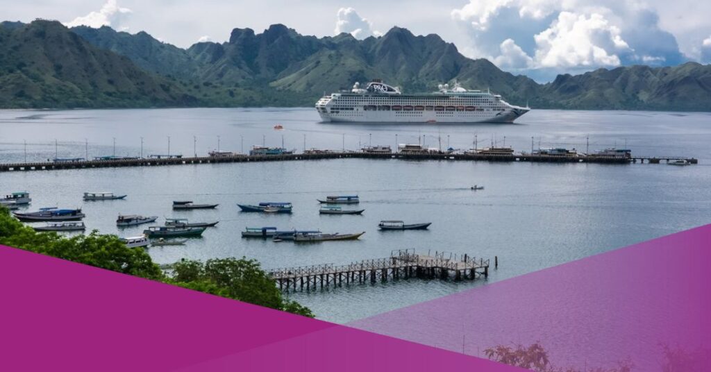
Because the evacuation will be by sea, large ships are needed to transport the people.
The Indonesian Navy deployed one unit of the Indonesian Republic Warship (KRI) to assist in the evacuation process of Tagulandang Island residents who entered the 6 km radius of Mount Ruang after its alert status was raised to level IV.
Abdul did not specify the type and name of the ship, but he emphasized that the Navy’s assistance would increase the number of existing evacuation ships.
History of Mount Ruang Eruption
Mount Ruang is one of a series of volcanoes in Indonesia that can create tsunamis.
The last eruption occurred in 2002. It reached a height of about 20,000 meters, and lava flows slid as far as 1,600 meters to the southeast of the mountain crater, traces of which are still visible today.
The largest eruption of Mount Ruang occurred in 1871, with a VEI scale of 2. It caused part of the land to landslide into the sea and triggered a 25-meter-high tsunami, which claimed about 416 lives.
Given its history, eruptions and tsunamis have caused many casualties, so the government and community need to deal with this.
Interested in this topic? Check out our other articles from Social Expat!
- BMKG Warns of Rain as Tropical Cyclones Loom in Denpasar and Major Cities in Indonesia
- Mount Merapi Erupts with 17 Lava Flows in A Day, Alert Raised for 20 Other Indonesian Volcanoes
- Magelang City Affected by Ash Rain Following Mount Merapi’s Recent Eruption


